European Russia and Siberia
This hand-painted ‘map of European Russia and Siberia’ with inset map ‘Asian Russia’ depicts the administrative division of the tsarist empire into various governorates and their respective provinces. This modern map provides detailed information on areas, population figures, and distances. The Russian Empire was characterised by its multilingual and multi-religious composition; only half of its population spoke Russian, and the tsars did not impose Russian identity on non-Russian subjects.
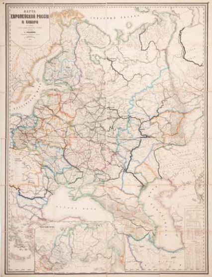
A. Shevelev, Karta Evropeiskoi Rossii i Sibirii (Map of European Russia and Siberia), Sankt Peterburg 1887. Coll. S/T U.2m.78, 142 x 109 cm.