Molotov-Ribbentrop pact divides Poland
On August 23, 1939, the foreign ministers of Nazi Germany, Von Ribbentrop, and the Soviet Union, Molotov, signed a nonaggression treaty in Moscow. However, a secret protocol was added in which the two powers had already divided East Central Europe into their respective spheres of influence. As seen on this map, the dividing line established by that protocol is marked in blue. Poland is divided, with a border running across the Vistula River through Warsaw, and Lithuania is placed within the German sphere of influence. Subsequently, in late September 1939, a second secret protocol was established, with the final division of spheres indicated by the red line on the map.
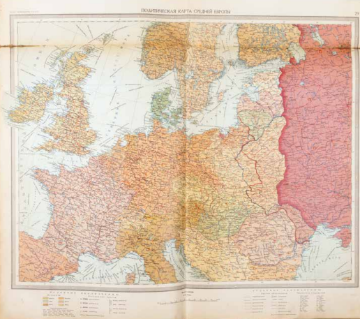
Генеральный Штаб РККА (General Staff of the Red Army), Политическая Карта Средней Европы (Political Map of Central Europe), Moskwa 1938, from: Атлас командира РККА (Atlas for Commanders of the Red Army, map 29). Coll. S/T H.165, 59 x 78 cm.