Travel Atlas to Amsterdam
This survey map depicts the Kingdom of Holland, complete with land and water routes from Amsterdam, which wasn’t officially designated as the capital until 1808. At this point, Zeeuws-Vlaanderen and Limburg remained under French rule. The Meuse River serves as the northern border of the department of Brabant (encompassing Heusden, Woudrichem, Geertruidenberg, and Willemstad). The department of Drenthe has been separated from the department of Groningen.
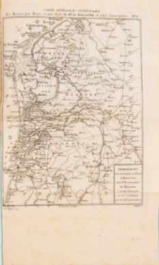
L. Hesse, Carte générale - Itineraire des Routes, par Terre et par Eau du Royaume de Hollande et pays limitrophes, In: Atlas faisant partie du Voyageur en Hollande (2e volume, 19 cartes et plans), Amsterdam 1807. Coll. S/T G.6, 33 x 43.5 cm.