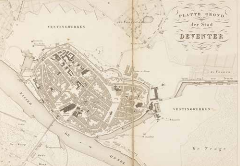
First modern map of Overijssel
In the nineteenth century, unmeasured and undescribed places not only disappear from our world maps, but the interior is also increasingly mapped. Based on triangulation of our country by Kraijenhoff and systematic mapping by the Cadastral Registry, accurate provincial maps were made at the insistence of the Minister of the Interior. The provincial government of Overijssel commissioned this topographic map of their area at a scale of 1:50,000, with inserts of Zwolle, Deventer and Kampen city maps. State, province, arrondissement, canton, municipality, and dyke district borders are precisely indicated. In addition, this map distinguishes various types of roads and dyke and shows arable land and pastures, orchards and forests, peat bogs and reedbeds, marshes and sand bogs, and so on.

Van Baarsel & Tuyn, Transisalania, Topographische Kaart van de provincie Overijssel op last der Staten van dat gewest vervaardigd, (Transisalania, Topographic Map of Overijssel Province commissioned by the regional States), Zwolle 1849. Coll. S/T T.252, four sheets, 186 x 216 cm together.
